April 2009 flight southward down the MS River
from Greenville, MS to Fort Adams, MS

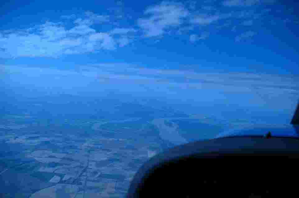
Figure 1 Aircraft (Cessna 172 5009H) Situated over Lake Bolivar at 10,500’ looking south to Lake Ferguson, north of Greenville, MS just west of Arkansas city, Ark.
Lat. 33 deg. 36 min. Long. 91 deg. 05 min 30 sec. the MS river stretches and winds southward towards Vicksburg and Natchez from here.
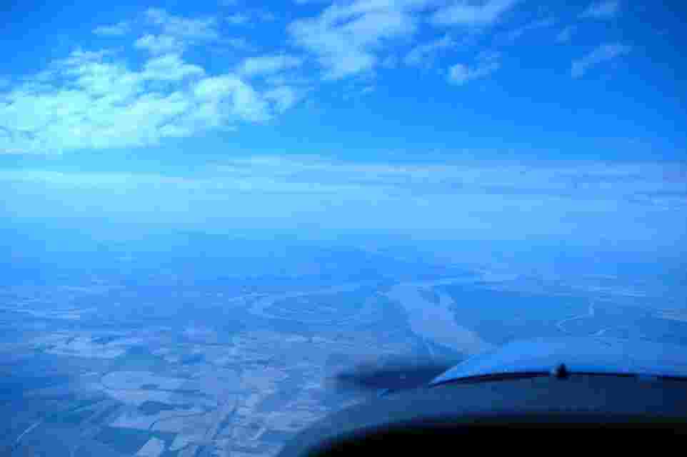
Figure 2 same as above
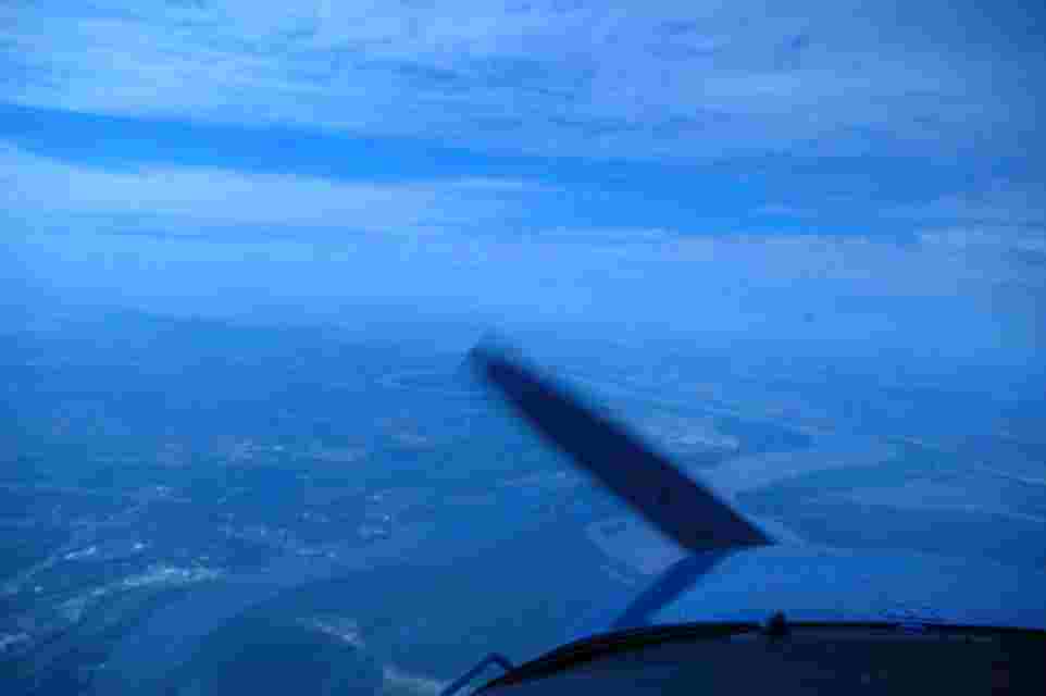
Figure 3 Some what closer to Greenville than in the above phots. Picture taken from 9500′ 33 deg 27 min. The river has the ox-bow Lake Lee(shown here just to the left
of the aircraft’s propeller) and Lake Washington on its east side as you go southward towards Mayersville, MS.
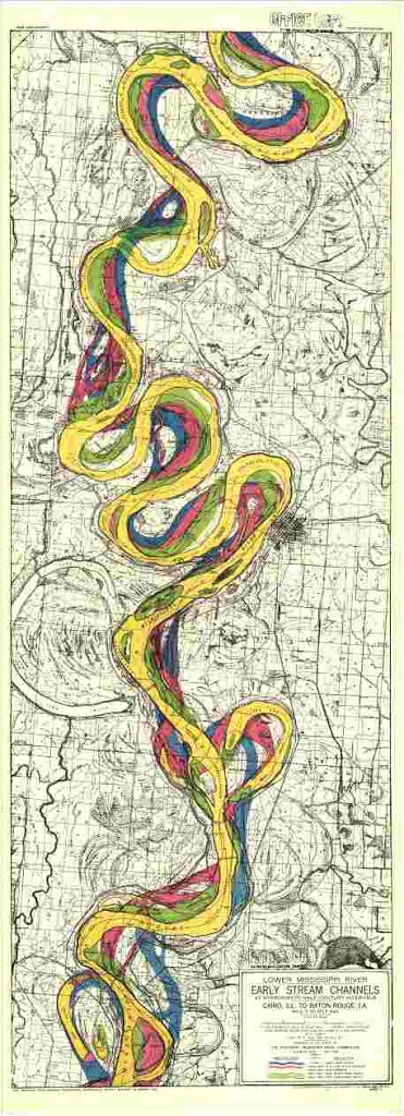
Figure 4 Vicksburg District, Corps of Engineer survey maps of 200 years of the river’s courses
In these areas (reaches of the river). City of Greenville is at right mid center of the
Map Lake Lee and Lake Washington are to the south from there.
Blue color represents Lt. Ross’s 1765 survey
Red US Army Corps of Engineers 1820-1830 survey
Green 1881 1895 survey
Yellow 1930-1933 survey
This photocopy is high resolution and can be enlarged in your browser if you click on it.
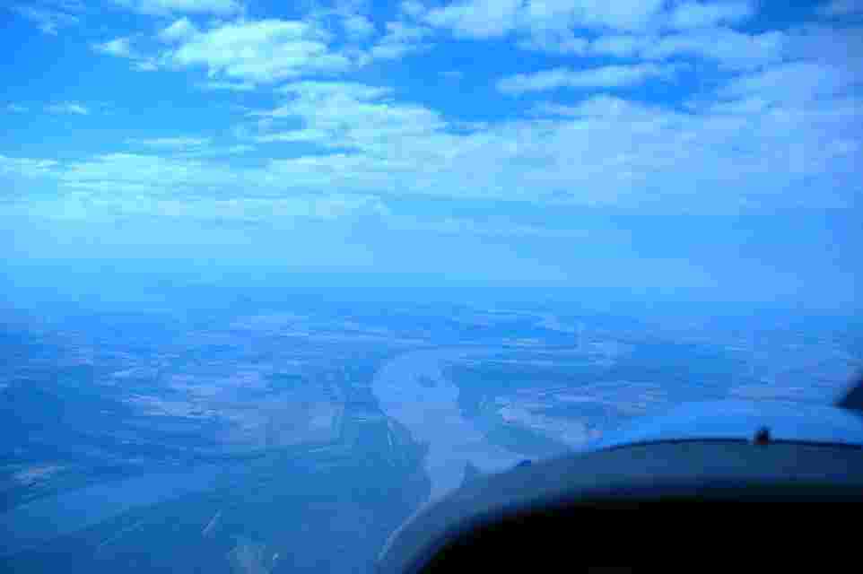
Figure 5 Flying over Mayersville, NS looking south along the River Road (Hwy 1) approaching Vicksburg, 33 deg. and 19 min. at 9500′. There are many islands or
River channel bars along most streches of the river. And, ox bow lakes such as Lake Chotard and Eagle Lake shown here are on both sides of the river. They represent
former channels of the river that have been cut-off as the river changes its course.
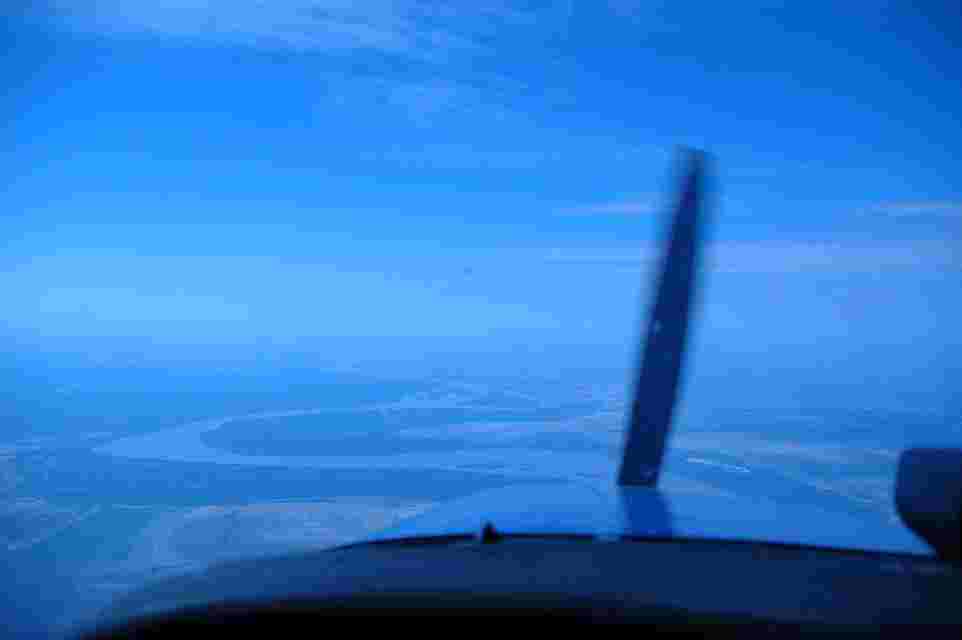
Figure 6 9500′ over Mayersville, MS lat 32 deg. 51 min., long. 91 deg. 06 min.
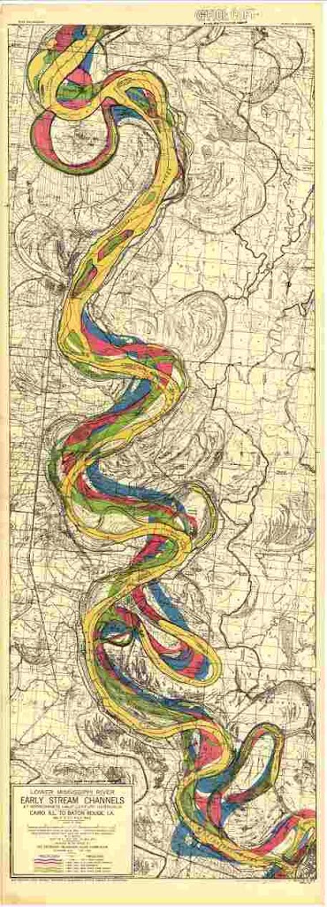
Figure 7 Corps survey maps of this area. the city of Vicksburg is at the map’s lower right corner. The years the surveys were made are color coded as in the figure
Eagle Lake, Chotard Lake, Mayersville, the Great River Road Hwy 1 (which are referenced in other photos in this blog are above Vicksburg on the MS side.

Figure 7 North of Vicksburg,MS (on the Louisiana side of the river) 9500′ altitude lat. 32 deg. 26 min long. 91 deg. 03 min.
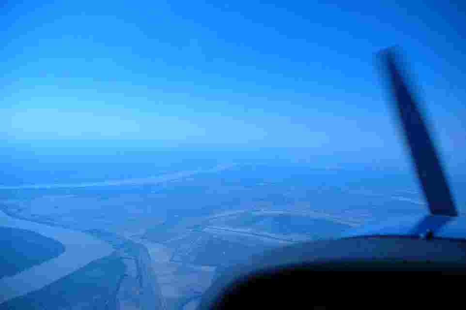
Figure 9 North of Vicksburg, MS, approaching the Vicksburg/Talluhah airport from the Louisiania side of the river.
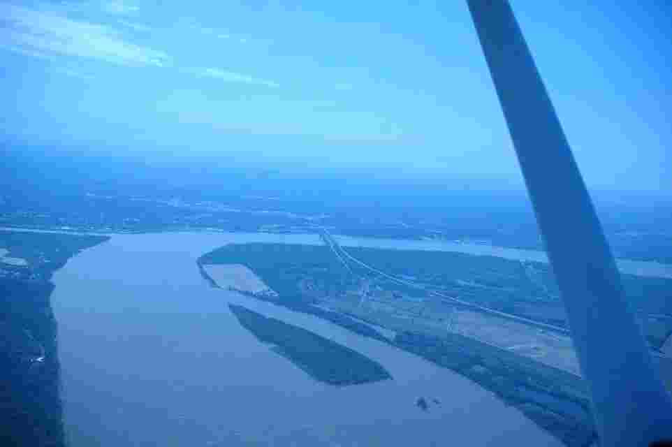
Figure 10 MS river bridge at Vicksburg, MS 3500′
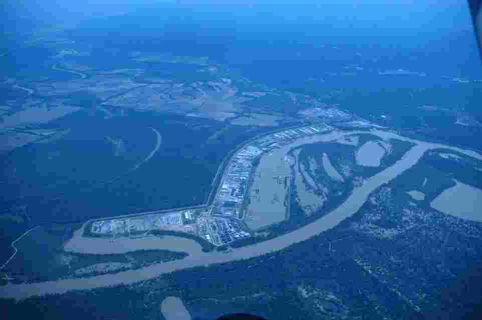
Figure 11 Port of Vicksburg (north of the city) from 6500′ . Part of the Yazoo river diversion channel which empties into the MS river provides access to the Port
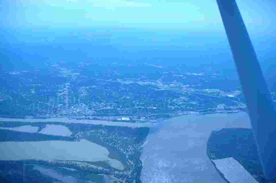
Figure 12 City of Vicksburg from 7000′ looking East from north of the city on the Louisiania side of the river
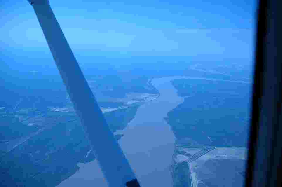
Figure 13 8500′ Letourneau, MS (the company there employs a large number of workers and constructs large open ocean oil rigs )
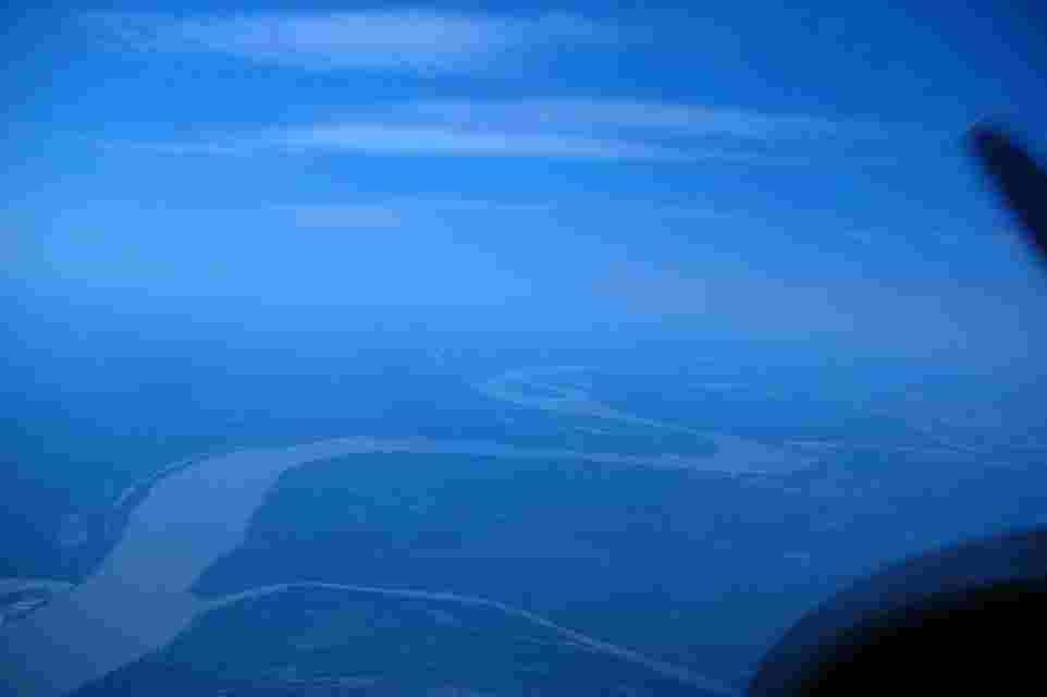
Figure 14 looking south toward Port Gibson from west of Letourneau, MS at 9500′. As you head southward from here there is Davis island (former river island
plantation of Jefferson Davis)and the ox-bow lakes, Lake St. Joseph, Yucatan Lake, Lake Bruin and Lake St. John on the Louisiana side of the river.
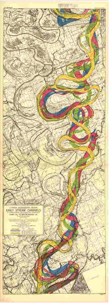
Figure 15 historic MS river channels from Vicksburg south to Natchez.
The southern part of the city of Vicksburg are in the upper right corner, area to the north of Natchez in the lower right.
One problem I have with the District using Lt. Ross’s 1790 (in blue) survey
data is that Andrew Ellicott’s trip and survey of 1798 showed the longitude reference data
used on maps before that time was up to 60 nm wrong. At that time land surveyor’s were
using star time to compute longitude positions. But, the accuracy of the measuring instruments
were not very precise. Ellicott adapted the Jesuit astronomer Ferrar’s method of making records of the positions of the
moons of Jupiter on the evenings in which star time observations were made. Then.back from the trip these positions could be
used to determine more precisely the longitudinal location on earth. He and Ferrar knew from there study of Isaac Newton’s
theories of celestial mechanics that the value of the periods
of the multiple orbits of Jupiter’s satellites were incommensurable and allowed this.
(This idea of how to tell star time using Jupiter’s satellites actually goes back to Gallileo. More, historical comments
about this can be found in his journal and historical information posted at
http://www.yhwhschofchrist.org main page.)
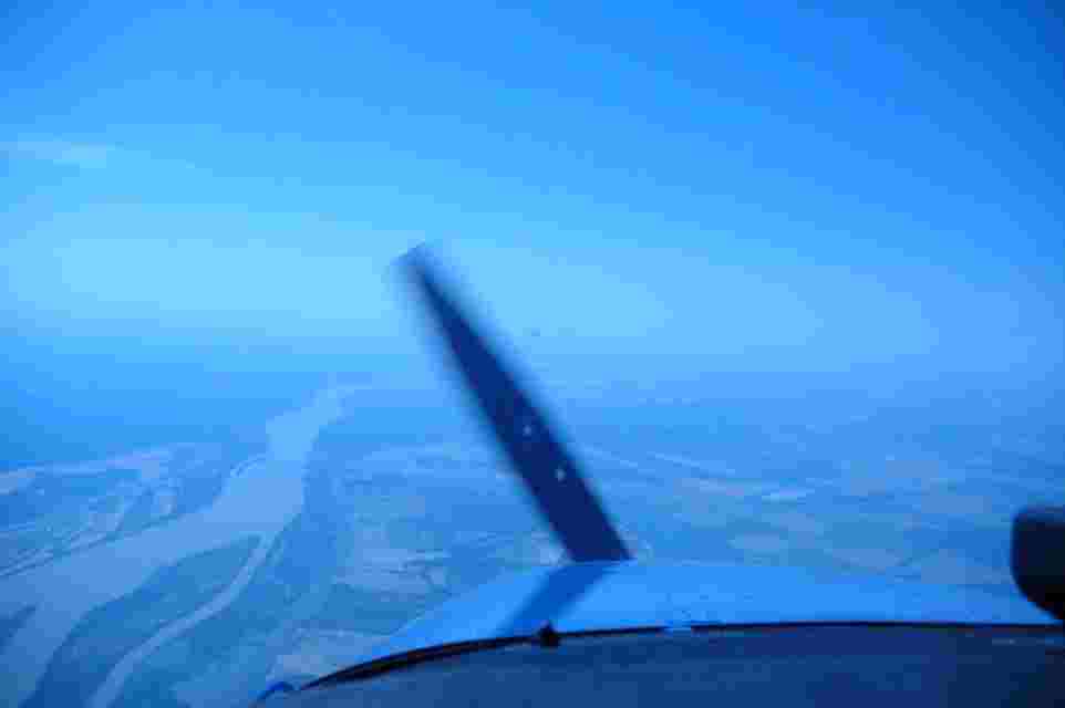
Figure 16 9500′ lat. 31 deg. 26 min., long. 91 deg. 24 min. west of Natchez, MS

Figure 17 flying south toward Lake St. John looking east toward city of Natchez, MS (about 20 miles to the south of here)
and the bridge that crosses the river there. lat. 31 deg. 35 min. , long. 91 deg. 30 min.
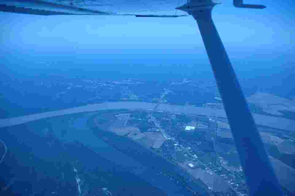
Figure 19 City of Natchez, Ms and the bridge that crosses the MS river there. The towns in LA directly below the aircraft are Vidalia and Ferriday.
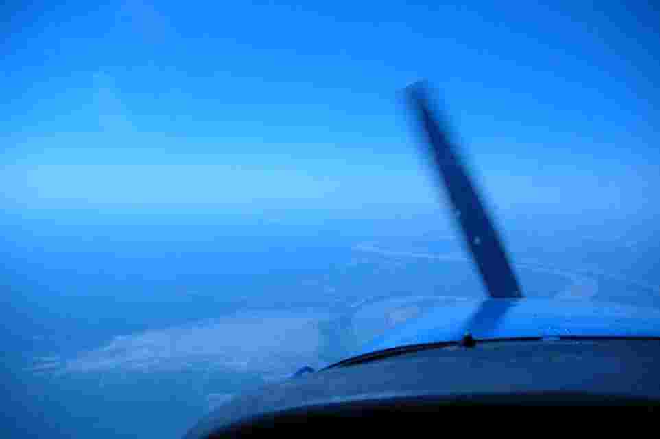
Figure 20 9500′ over Lake Mary, MS lat 31 deg. 16 min., long. 91 deg. 30 ‘ , 9500’ looking south toward Woodville, MS and Fort Adams (Angola Federal
Prison is located there where the river bends at the Southwest tip of Mississippi)
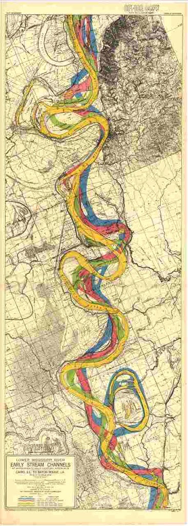
Figure 21 Historic channels of the MS River from Natchez south to just above
Ft. Adams. St. Mary’s ox bow lake and the Homochitto river are in the lower
Right corner. Map may be enlarged in our browser by clicking on it.
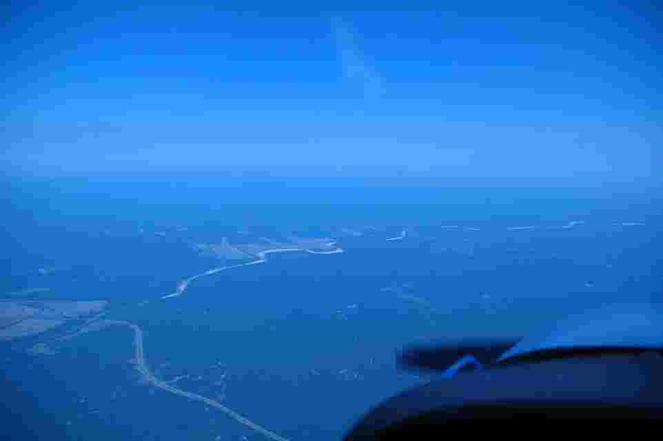
Figure 22 9000’ Crossing Hwy 61, which proceeds southward from Natchez, MS to Baton Rouga, LA and flying up the Homochitto River in order to return
to Hawkins field Jackson, MS.
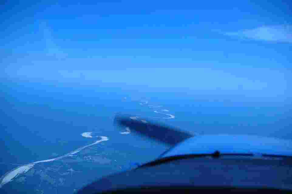
Figure 23 heading northeast toward Brookhaven, MS following the Homochitto River at 8000′